Maps of Itapoã, Federal District
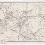 1857|Petermann, August1:4 000 000
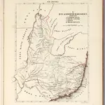 1830|Schlieben, Wilhelm Ernst August von (1781 - 1839)1:2 000 000
 1830|Schlieben, Wilhelm Ernst August von (1781 - 1839)1:2 000 000
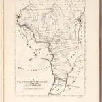 1830|Schlieben, Wilhelm Ernst August von (1781 - 1839)1:2 000 000
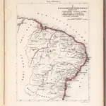
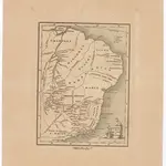 18211:16 480 000
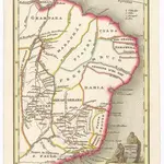 18211:16 480 000
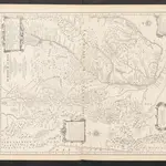 1873|Martin de Moussy, Victor1:2 000 000
Old maps of Itapoã, Federal District
Discover the past of Itapoã, Federal District on historical maps
Old maps of Itapoã, Federal District
Discover the past of Itapoã, Federal District on historical maps
Looking for a Google Maps API Alternative?